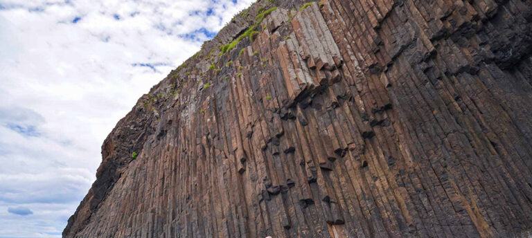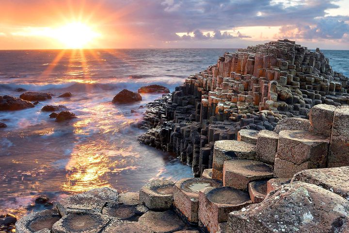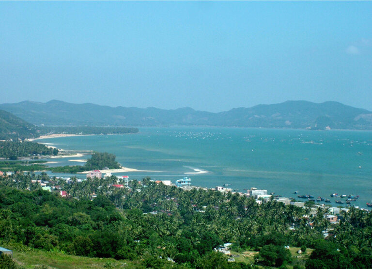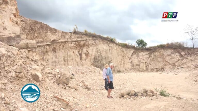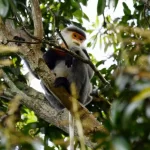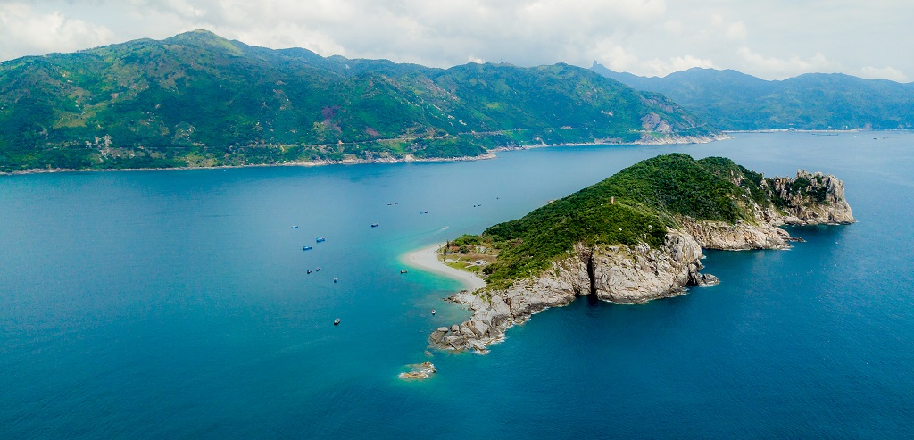
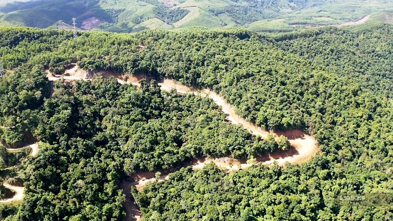
Distributed in Hoa Tam and Hoa Xuan Nam communes, Dong Hoa town, about 30 km south of Tuy Hoa city, Deo Ca – Hon Nua is on the list of special-use forests in Vietnam by 2010 compiled by the Forestry Department – Ministry of Agriculture and Rural Development with an area of 8,876 hectares (this list has not yet been approved by the Government). The sea off the coast of Deo Ca – Hon Nua is a place with a very diverse range of coral reefs. Hon Nua Island is the southernmost island of Phu Yen, located right at the foot of Deo Ca, the natural boundary between Khanh Hoa and Phu Yen provinces. The entire island has a beautiful green color of trees, looking from afar like a dinosaur playing in the sea. Hon Nua is shaped like a pillar dividing the door from the sea to Vung Ro Bay, so in the book Dai Nam Nhat Thong Chi, the island’s name is Tu Tru. Nature has endowed Hon Nua with a smooth white sand beach, clear blue water, colorful coral reefs, and many caves and majestic granite cliffs. This area not only has the manifestation of Geomorphology (type B) but also the manifestation of type D (Rock), cultural and historical heritage with the presence of stele stone mountain, the mark of land opening of Dai Viet and biodiversity.
Educational and scientific value: According to the classification of natural heritage, this area is classified as a natural landscape protection area and a cultural and historical area, a place for sightseeing, studying and researching in the fields of culture, history, biodiversity and geology.
Geological heritage type: type B (Geomorphology), type D (Rock), cultural and historical heritage, biodiversity.